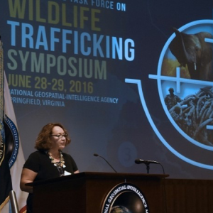
Earth League International would like to introduce our newest member, Dr. Odean Serrano, who will lead the geospatial component of ELI’s novel, multi-intelligence mission that tackles environmental crime networks and the convergence of transnational environmental crimes with other serious crime.
 Dr. Odean Serrano worked for the US Federal Government for over 26 years. She first worked at NASA Kennedy Space Center as a space shuttle operations engineer and then at NASA Headquarters in Washington D.C. as an environmental program manager responsible for inter-agency partnership development linking common environmental mission elements.
Dr. Odean joined the National Geospatial-Intelligence Agency (NGA) in 2005 as an Intelligence officer and designed and spearheaded an environmental security initiative that leveraged climate, water, food, and ecosystems research in alignment with national security priorities.
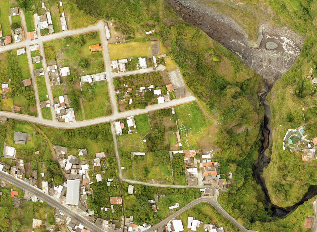
Geospatial Intelligence (GEOINT) is defined as the intelligence about the human activity on earth derived from the exploitation and analysis of imagery and geospatial information that describes, assesses, and visually depicts physical features and geographically referenced activities on the Earth.
Geospatial Data is comprised of any data type that can be geospatially referenced and is generally organized by unstructured data forms (cables, forensic,
GEOINT Analysis effectively interpret relevant data and enhance contextual knowledge that informs and advances efforts to address wildlife criminal and trafficking issues on the ground and at the network level. GEOINT products integrate, map, and analyze data to illuminate the convergence of illicit networks and their interactions.


